NOTICE of DBE Construction Goal
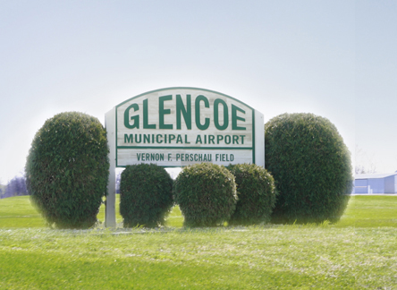
Our airport is known as the Vernon F. Perschau Field. It is used on a daily basis, and it’s the closest paved runway west of Flying Cloud and the metro area.
- 2025 Pavement Maintenance Plans and Specs – Bidding Documents
- Glencoe Airport Minimum Standards 2012
- Airport Layout Plan – 2022
- Minnesota Department of Transportation Aeronautics
- AirNav.Com Airport Information
- Minnesota Council of Airports
- 2022 Master Plan Report and Presentation
The Glencoe Municipal Airport (GYL) is owned and operated by the City of Glencoe, MN.
The Airport Commission is responsible for the management, operations and maintenance of the airport under the guidance of a five-member Airport Commission appointed by the Glencoe City Council. The airport is a public use general aviation intermediate category airport designed and constructed to the standards listed in the National Integrated Airport Systems Plan (NPIAS). The official name of the airport is the Glencoe Municipal Airport (Vernon Perschau Field).
The airport is located east of the City of Glencoe, at 9902 Dairy Avenue, Glencoe, MN – the junction of State Highway 212 and County Road 1. The airport is served by a single runway that is 3,300 feet long and 75 feet wide, at a northwest to southeast orientation (13/31), with a a full length parallel taxiway system. The airport is support by GPS/RNAV instrument approaches and radio controlled lighting system using CTAF 122.8 MHz. Weather information may be obtained via the AWOS by either 119.625 MHz or by phone at 320-864-5830. Minneapolis Center (ATC) can be reached on 134.7 MHz. The airport occupies approximately 116.2 acres, some of which may be lease for agricultural use. The Arrival/Departure building is open to the public and users 24 hours a day, with a courtesy car available to pilots. The airport has a self-service fueling with 100LL located on the northwest edge of the apron.